Skip to content

Geocode

Geocode

Enhance your location databases by adding latitude and longitude coordinates, all via a single, easy to integrate API.


Get started


Geocode Software

Loqate’s Geocoding solution will append digital latitude and longitude data to addresses, augmenting location datasets with the most accurate and up-to-date geospatial information

Reverse Geocode Software

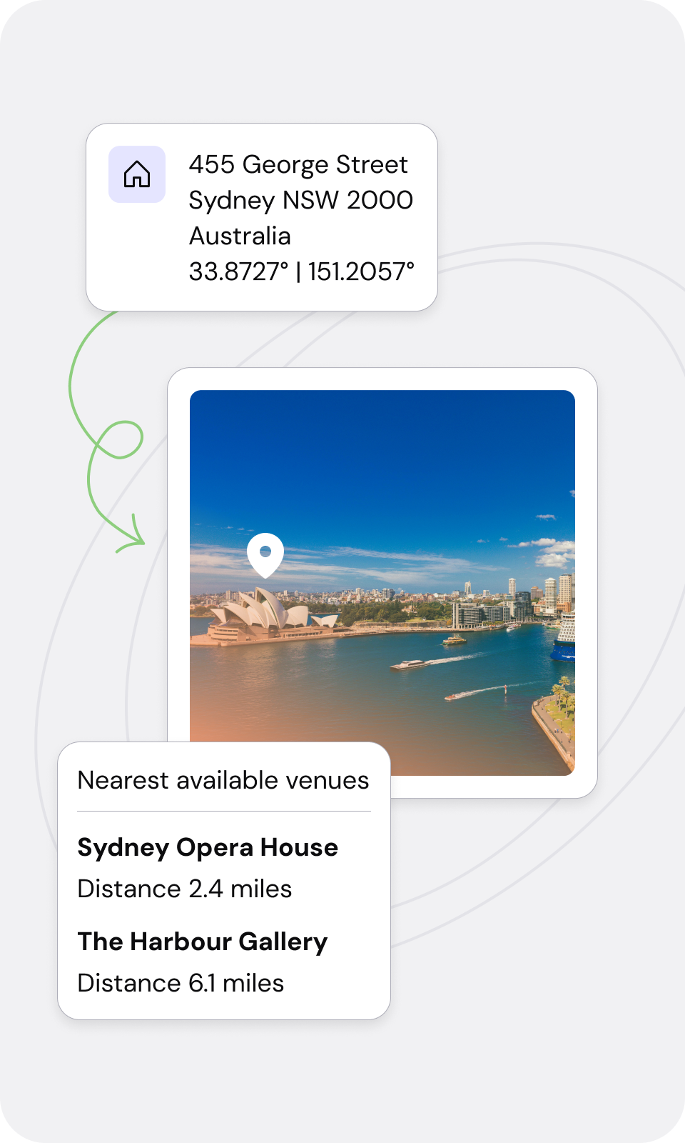
Loqate’s Reverse Geocoding solution identifies locations nearest to a latitude and longitude coordinate, enabling increased reliability of the location data. Even when addresses are unavailable, our Reverse Geocoding feature provides corresponding addresses for geolocation queries

See where you are with Geocode

Real World Results
Real World Results

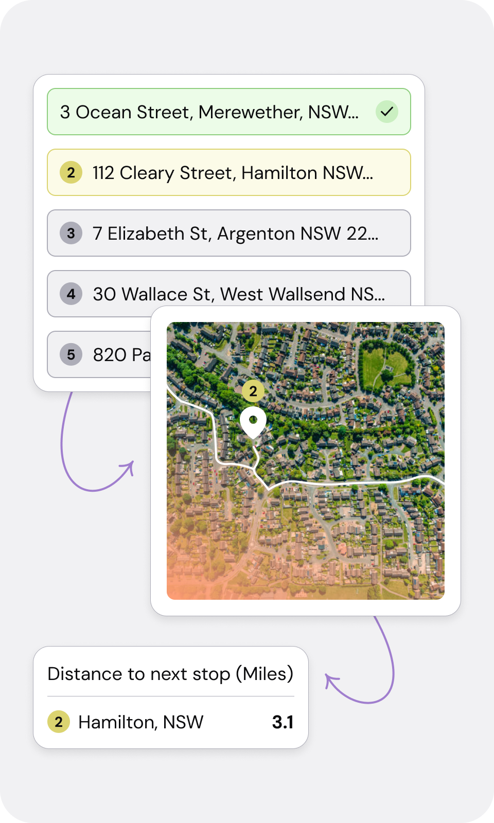
Specify day and time to take advantage of the optimum speed for specific routes. Use traffic and road speeds for accurate journey and arrival times 

Choice of Calculation

Choose the type of distance calculation: straight-line (as the crow flies) or fastest / shortest routes using actual road distances.

Multiple & Accurate Locations

Calculate the distance between multiple locations, and use postcodes or coordinates to pinpoint locations. Enables locations to be displayed on a map or passed to GIS applications. Plus the geo-distance field returned will let you know how accurate the geocode is to the address. 

Global geocoding coverage

Adds geocodes to premise-level in 120 countries worldwide, including point-level (rooftop) geocoding in 60 countries and city center positions for over 240 countries including the US, Canada, UK and most of Europe. 

Enhanced Customer Experience

Let customers know expected times of delivery with planned journeys and times. 

Save Time, and Money

Speed up the process of calculating mileage claims by measuring distances accurately and ensuring all claims comply with regulations.

Frequently asked questions

What is geocoding?

Geocoding is the process of converting addresses, place names, or other location-based information into geographic coordinates, typically latitude and longitude. This transformation is essential for various applications, including mapping, geographic information systems (GIS), location-based services, and urban planning. The geocoding process can be broken down into several key steps:

1. Input Data Collection: Gathering the input data that needs to be converted into geographic coordinates. 

2. Data Preprocessing: Preprocessing involves standardizing the format of addresses (e.g., ensuring consistent use of abbreviations), correcting typographical errors, and validating the existence of the addresses. 

3. Address Parsing: Breaking down the input address into its component parts, such as the street number, street name, city, state, and postal code. 

4. Database Matching: The parsed address components are then matched against a geographic database, which contains a comprehensive list of known addresses and their corresponding geographic coordinates. 

In summary, geocoding is a multi-step process that transforms location-based information into geographic coordinates, enabling a wide range of applications across various fields. 

What is the difference between geocoding and reverse geocoding?

Geocoding and reverse geocoding are two related but distinct processes used in geographic information systems (GIS) and mapping applications. Geocoding and reverse geocoding are two related but distinct processes used in geographic information systems (GIS) and mapping applications. Both processes involve the conversion between geographic coordinates and human-readable addresses, but they serve different purposes and operate in opposite directions. Here's a couple of quick-fire definitions:

Geocoding - Geocoding is the process of converting a human-readable address or place name into geographic coordinates, typically expressed in latitude and longitude. This process allows users to pinpoint a specific location on a map. When a user inputs an address, geocoding algorithms analyze the text to identify the components of the address, such as the street name, house number, city, state, and postal code. The geocoding service then matches this information against a database of known locations to find the corresponding geographic coordinates. 

Reverse Geocoding - By contrast to geocoding, reverse geocoding (as the name suggests) is the operation in reverse. It's the process of converting geographic coordinates (latitude and longitude) back into a human-readable address or place name, which then allows users to identify the nearest address or location based on specific coordinates. Using geographic coordinates, reverse geocoding algorithms search a database of geographic information to find the closest matching address. The process involves determining the nearest street or landmark to the given coordinates and retrieving the associated address information.

Start your free trial today

Make sure your online checkouts and forms are the best they can be by trialling our geocoding solution. 


Get started now


Free lookups

You get free lookups for 30 days to trial our geocoding solution wherever you like.

No payment details needed

Our free trial is truly free. We don't request payment details up front and the trial period ends automatically.

Buy when you're ready

Sign up for any of our annual plans when you're done testing or get in touch to discuss pricing options.