City to postal code data for every country and territory in the world
This dataset enables organisations to populate and standardise hierarchy data from diverse sources. It effortlessly manages all aliases, creating consistency within business systems.
Speak to an expert
Easy navigation and enhanced data consistency
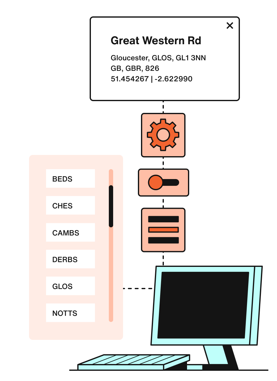
With Loqate's GDH dataset we offer streamlined navigation and improved data consistency by organising geographical attributes from the Country level down to administrative levels. This comprehensive dataset encompasses localities, dependent localities, and relevant postcodes when applicable.
Unlock the power of data values
Loqate's Geographical Hierarchy Data signposts data values, allowing you to incorporate, utilise, and present the data in the most suitable and efficient manner. Effortlessly harness the potential of your data for impactful business outcomes.
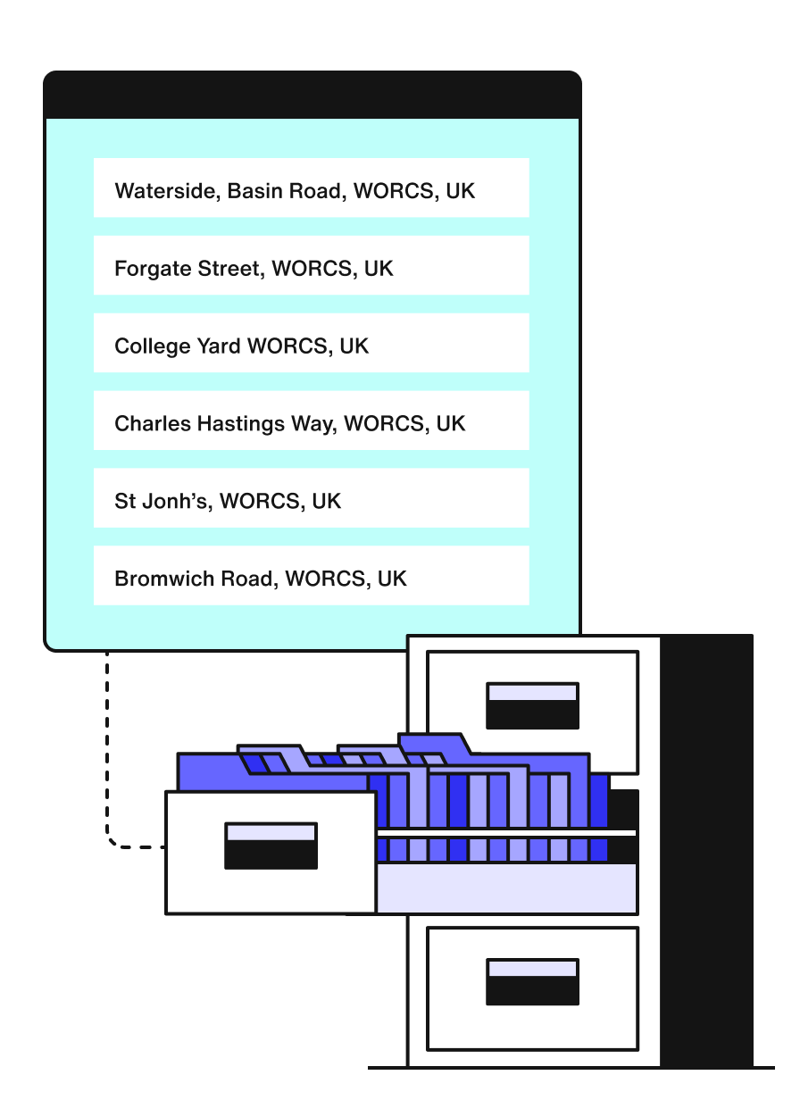
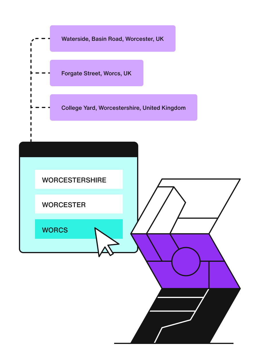
Choose your aliases
Ensure unparalleled data consistency across your entire business ecosystem by effortlessly defaulting to your preferred alias in any application you choose.


Key benefits of GDH

Loqate combines datasets for accurate reference data, enhancing customer experience, governance, compliance, and reducing data errors.

Use universal field naming to maintain consistent geographic hierarchy, reduce duplicates, and address data misalignments.

Boost analytical performance, allocate stores and territories, and improve operational and marketing effectiveness with a common reference dataset.

Utilise a 13 million-record master reference table to power your business, enabling transparency, speed to market, and centralised implementation.

This solution improves data entry speeds as you’re selecting values from pre-populated fields. You also save time and money associated with correcting data errors downstream.

Empower ecosystems with an innovative dataset, enabling a single version of truth for managing classifications and hierarchies.


Leverage the latest reference data for precise validation of city, state, and zip code information, reducing errors and enhancing data integrity.

Address international applications with support for all countries and territories, accommodating diverse location hierarchies and regional requirements.

Continuously enhanced for evolving needs, user input, and new data sources, enhancing performance and functionality.

Containing 13 million address points in 250 countries and territories.